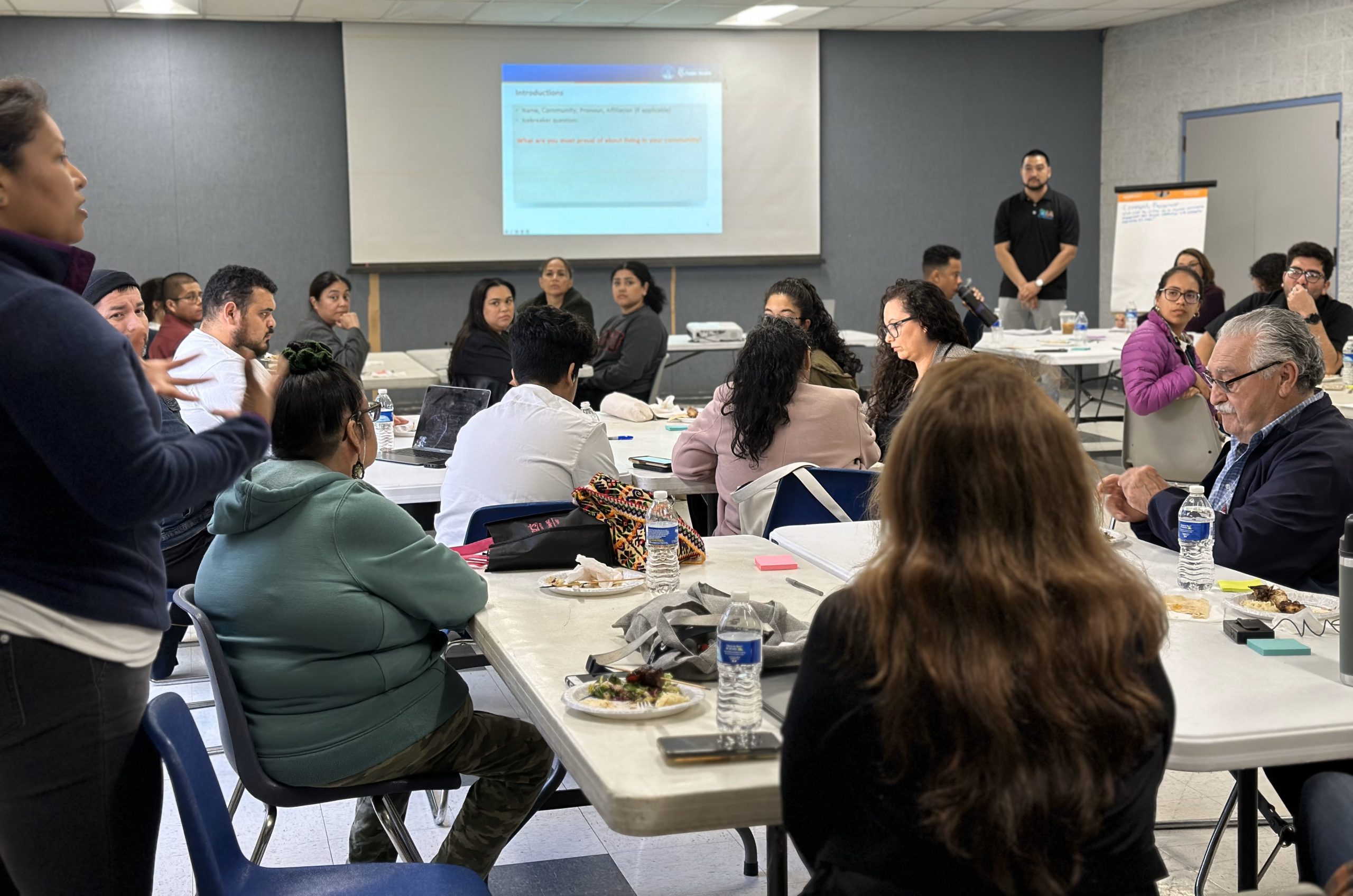
Solid Waste Sites
A lake with rippling waters and a park bench fill the foreground leading back to the skyscrapers of downtown skyline Los Angeles, California

Solid Waste Sites

Learn More Metadata Download the Dataset View on Map Variable Definitions:Solid Waste Facilities Percentile: For more information on the California Office of Environmental Health Hazard Assessment's methodology, visit the CalEnviroScreen homepage.Source:California Office…

Continue Reading
Toxic Releases
A lake with rippling waters and a park bench fill the foreground leading back to the skyscrapers of downtown skyline Los Angeles, California

Toxic Releases

Learn More Metadata Download the Dataset View on Map Variable Definitions:Toxic Releases Percentile: For more information on the California Office of Environmental Health Hazard Assessment's methodology, visit the CalEnviroScreen homepage.Source:California Office of…

Continue Reading
Pesticide Use
A lake with rippling waters and a park bench fill the foreground leading back to the skyscrapers of downtown skyline Los Angeles, California

Pesticide Use

Learn More Metadata Download the Dataset View on Map Variable Definitions:Pesticide Use Percentile: For more information on the California Office of Environmental Health Hazard Assessment's methodology, visit the CalEnviroScreen homepage.Source:California Office of…

Continue Reading
Diesel Particulate Matter
A lake with rippling waters and a park bench fill the foreground leading back to the skyscrapers of downtown skyline Los Angeles, California

Diesel Particulate Matter

Learn More Metadata Download the Dataset View on Map Variable Definitions:Diesel Particulate Matter Percentile: For more information on the California Office of Environmental Health Hazard Assessment's methodology, visit the CalEnviroScreen homepage.Source:California Office…

Continue Reading
Traffic Impacts
A lake with rippling waters and a park bench fill the foreground leading back to the skyscrapers of downtown skyline Los Angeles, California

Traffic Impacts

Learn More Metadata Download the Dataset View on Map Variable Definitions:Traffic Impacts Percentile:For more information on the California Office of Environmental Health Hazard Assessment's methodology, visit the CalEnviroScreen homepage.Source:California Office of…

Continue Reading
Natural Hazards
A lake with rippling waters and a park bench fill the foreground leading back to the skyscrapers of downtown skyline Los Angeles, California

Natural Hazards

Learn More Metadata Download the Dataset View on Map Variable Definitions:There are 18 specific natural hazards or consequence types included in the National Risk Index. NDSC includes 5 relevant hazards…

Continue Reading
Climate Change in the Gateway Cities
Nighttime twilight view of the Long Beach skyline with the Ports of Los Angeles an Long Beach in the distance.

Climate Change in the Gateway Cities

Gateway Cities Council of Governments and Climate Change As climate change continues to transform the lives of residents in Los Angeles County, the region is coming to grips with its…

Continue Reading
  • 1
  • 2
Close Menu