Transportation
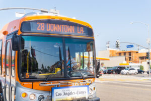
Learn More Why is this important? The transportation policy area explores data on how people travel around Los Angeles county and includes issues like vehicle
Learn More Why is this important? The transportation policy area explores data on how people travel around Los Angeles county and includes issues like vehicle
In 2018, the city of Los Angeles received a grant to develop a neighborhood-level climate resiliency plan for South Los Angeles. Working with community-based organizations
Access to cost effective, time efficient and environmentally conscious transportation is a pressing issue affecting people around the world. In 2017, INRIX Global Traffic Scorecard
